A canyon and a summit
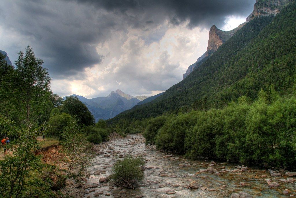
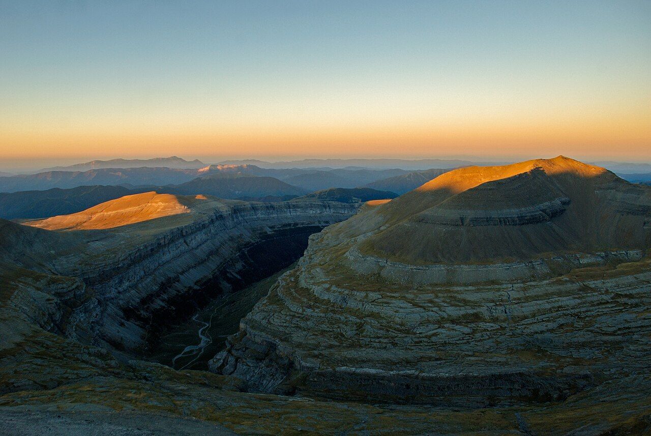
The Ordesa valley in Aragon is one of the great landscapes of the Pyrenees: a deep limestone canyon with walls of banded rock hundreds of metres high, beech and fir forest on its floor and a river that drops in a chain of waterfalls. At its head stands the Monte Perdido massif, whose main summit, at about 3,355 metres, is the third-highest in the range. On a single visit you can walk the canyon floor in a day, sleep high at the Góriz refuge, and, with the right skills and equipment, climb to the summit.
The valley is protected as the Parque Nacional de Ordesa y Monte Perdido, one of the oldest national parks in Spain. Together with the French cirques on the other side of the border, including Gavarnie, it forms the Pyrénées–Mont Perdu World Heritage Site, listed by UNESCO for its landscapes and its long tradition of mountain farming on both sides.
The canyon walk to the Cola de Caballo
The classic walk starts at the Pradera de Ordesa, a meadow at the end of the road above the village of Torla. In summer, private cars are usually not allowed up the road and a regular bus runs from Torla instead.
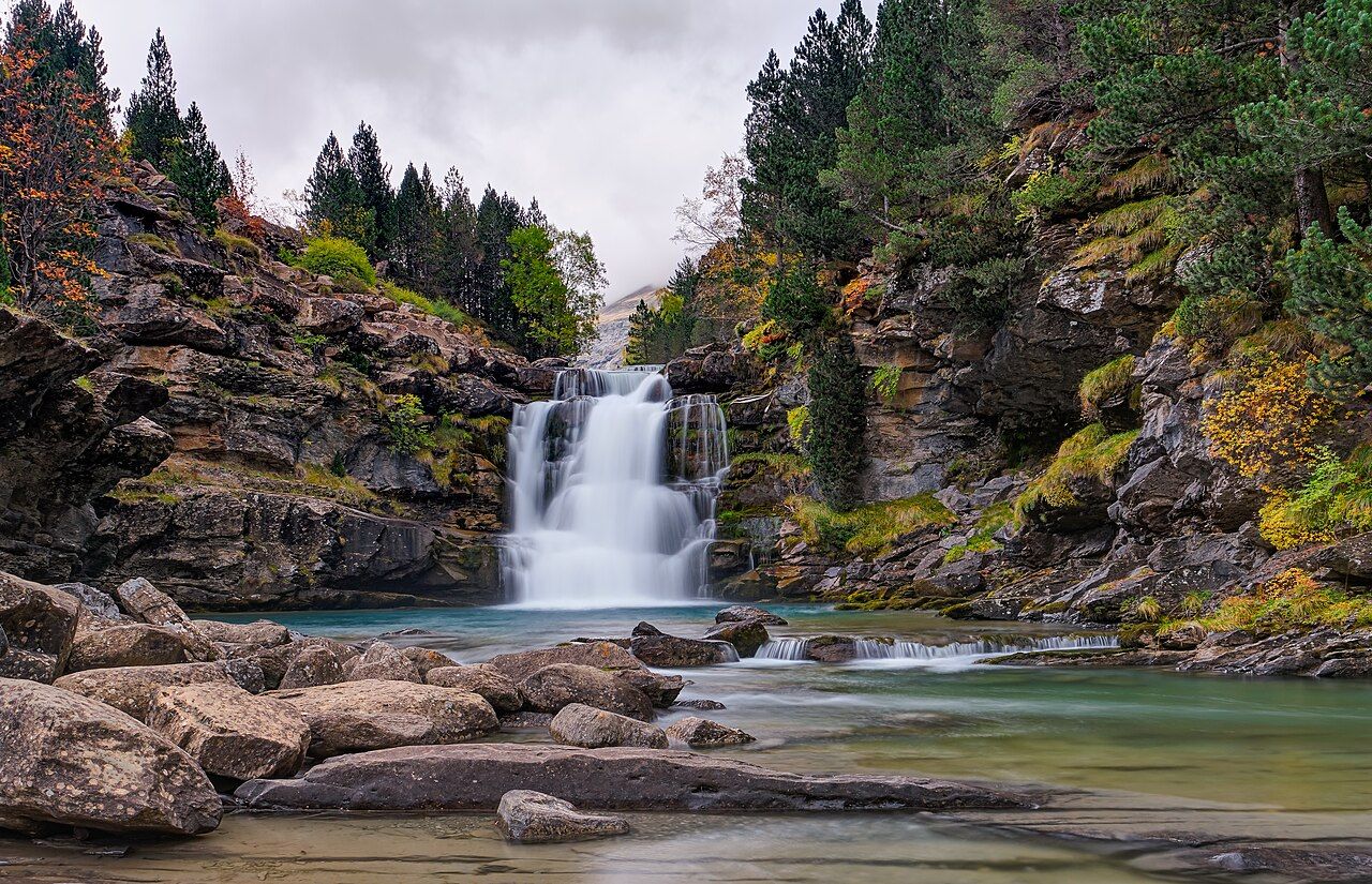
From the Pradera, a broad path follows the Arazas river upstream through beech and fir. It climbs gently past a series of waterfalls, each with its own viewpoint, then rises up the Gradas de Soaso, a staircase of small cascades over limestone steps. Above them the valley opens into the meadows of the Circo de Soaso, with the great walls closing in on three sides. At its end the river spills over a rock lip in a fan of white water: the Cola de Caballo, the "horse's tail".
The walk is long but not difficult, and the path is wide and well marked. Allow most of a day for the return trip at an easy pace, with time for stops. Carry water, food and a waterproof, and start early in high summer, when the path gets busy and afternoon storms are common.
Keep an eye on the sky as well as the path. Griffon vultures circle above the cliffs on most days, and the park is one of the places where you may see the bearded vulture, a huge bird with rust-coloured underparts. Higher up, chamois and marmots are common on the open slopes.
Higher paths and the Faja de Pelay
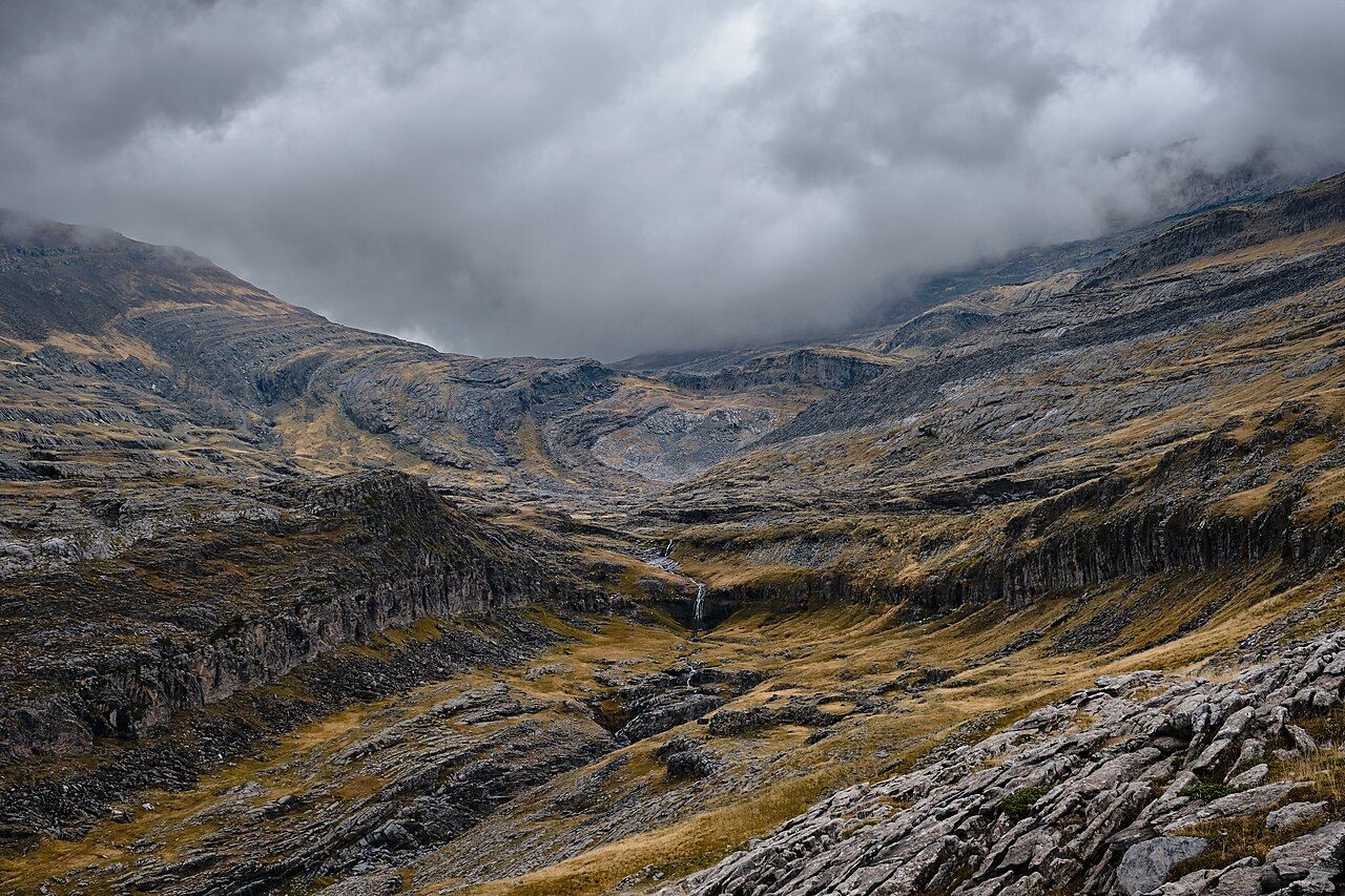
For a different view of the canyon, the Faja de Pelay follows a natural ledge high on the south wall, a balcony path with views straight across to the cliffs opposite and down to the river. You reach it by a steep climb through the forest from the Pradera, and you can return along the canyon floor to make a full loop. It suits fit walkers with a head for heights; the path itself is wide, but drops lie close at hand.
 Another routeThe Pyrenean 3,000-metre peaks
Other routes climb out of the canyon by steep paths and fixed chains. These are for experienced walkers in dry conditions only. After rain, limestone becomes slippery, and a slip on a narrow ledge can be fatal.
The Góriz refuge
Above the Circo de Soaso, a steep path climbs the headwall of the Circo de Soaso to the open, rocky plateau where the Góriz refuge stands, at about 2,200 metres. It is the base for climbing Monte Perdido and one of the busiest refuges in the Pyrenees. In summer it is often full, and reservations are essential; camping near the refuge is regulated.
Góriz is a staffed refuge with dormitories and meals, run on the usual principles of Pyrenean refuges: early dinner, early lights-out and an even earlier start for those heading to the summit.
Monte Perdido and the Escupidera
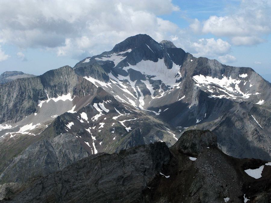
The normal route to Monte Perdido from Góriz is a long climb on rock, scree and, often, snow. It rises over limestone slabs and stony ground to the Lago Helado, a small lake below the summit slopes, often frozen well into summer. Above the lake lies the crux of the route, the Escupidera.
The Escupidera is a steep slope leading up towards the summit ridge. Its name roughly means "spittoon", a hint at what happens to anyone who slips. In early summer it holds hard snow, sometimes ice, and a fall can turn into a long slide towards rocks below. Later in the season the snow melts away to leave loose scree over hard ground, which is unpleasant and still dangerous. Many accidents on Monte Perdido happen here, often on the descent, when people are tired and hurrying.
Carry crampons and an ice axe, and know how to walk in crampons and stop a fall before you rely on them. If you lack that experience, go with a qualified mountain guide (IFMGA/UIAGM). Wear a helmet: the summit slopes are popular, and stones fall. Start early, before the snow softens, and turn back if the slope looks icy or the weather closes in.
Many accidents on Monte Perdido happen here, often on the descent, when people are tired and hurrying.
From the summit, the view takes in the whole of the Ordesa canyon on one side and, on the other, the cliffs of the French cirques. It is a reminder of how the two countries share this massif, and why the Cirque de Gavarnie is the natural next chapter. For many people, Monte Perdido is also a step on the way towards Aneto and the other big summits of the range.
The rest of the park
Ordesa is only one of four valleys in the park. To the east, the Añisclo canyon is narrower and wilder, a deep slot cut by the Bellós river, with a path that climbs through dense forest beside pools and small falls. Further east again, the Escuaín gorge is the quietest corner, reached by narrow roads from small villages. To the north-east, the Pineta valley ends in a great wall below Monte Perdido, with a waterfall-streaked cirque and a steep path climbing towards the Balcón de Pineta and the lake below the Marboré.
Each valley has its own access arrangements and its own character, and all of them are less crowded than Ordesa in high summer. They reward a second visit, and they show how much of the massif lies beyond the famous canyon.
When to go
The canyon walk is at its best from late spring to autumn. In June the waterfalls are full; in October the beech forest turns gold and the crowds thin. In winter the canyon is snowbound, the higher paths are exposed to avalanches and the summit is a serious mountaineering objective. Treat it with the respect any high, snow-covered mountain demands.