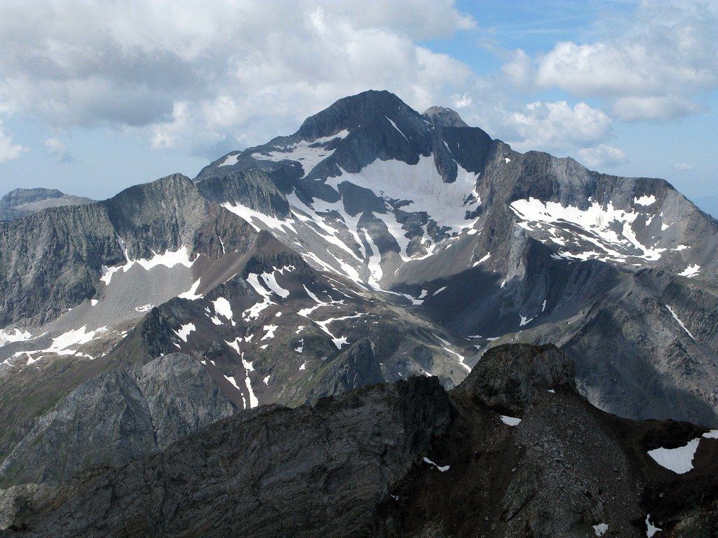
What the list is
The Pyrenees have no peaks over 4,000 metres, so the mark that matters here is 3,000. A few hundred summits and tops reach that height, spread along the central part of the range between the Balaitús in the west and the Pica d'Estats in the east. Lists of them have been drawn up for more than a century, and the most widely used modern list separates main summits from secondary tops and lesser points on the same ridges.
Exactly how many there are depends on where you draw the line between a separate peak and a bump on a ridge. Depending on the list, the count runs from around 130 main summits to more than 200 when every top is included. That uncertainty is part of the appeal: you are free to decide what counts for you.
Most of the 3,000s sit on the Spanish side of the border or on the border itself, grouped in a handful of massifs: Balaitús, Vignemale, Monte Perdido, Posets, the Maladeta with Aneto, the Besiberri and Comaloforno group near Aigüestortes, and the Pica d'Estats and Montcalm in the east.
The easier ones
Some 3,000s are long walks rather than climbs once the snow has gone. The normal route on the Pica d'Estats is a long but straightforward ascent over scree and boulders, and several summits around the Néouvielle massif on the French side and in the Posets range can be reached by fit walkers with good route-finding skills in high summer.
"Easier" still means serious by most walkers' standards. Even a non-technical 3,000-metre summit involves a long day, often well over 1,200 metres of ascent, rough ground, the risk of afternoon storms, and patches of hard snow early in the season. An ice axe and crampons are wise until midsummer on most routes, and you need the skill to use them.
Posets, the second summit
Posets, or Llardana, at about 3,375 metres, is the second-highest summit in the Pyrenees after Aneto. It rises above the Benasque valley in the Posets-Maladeta natural park, and its normal route, from the Ángel Orús refuge on the south side, climbs steadily over scree and rock without a glacier.
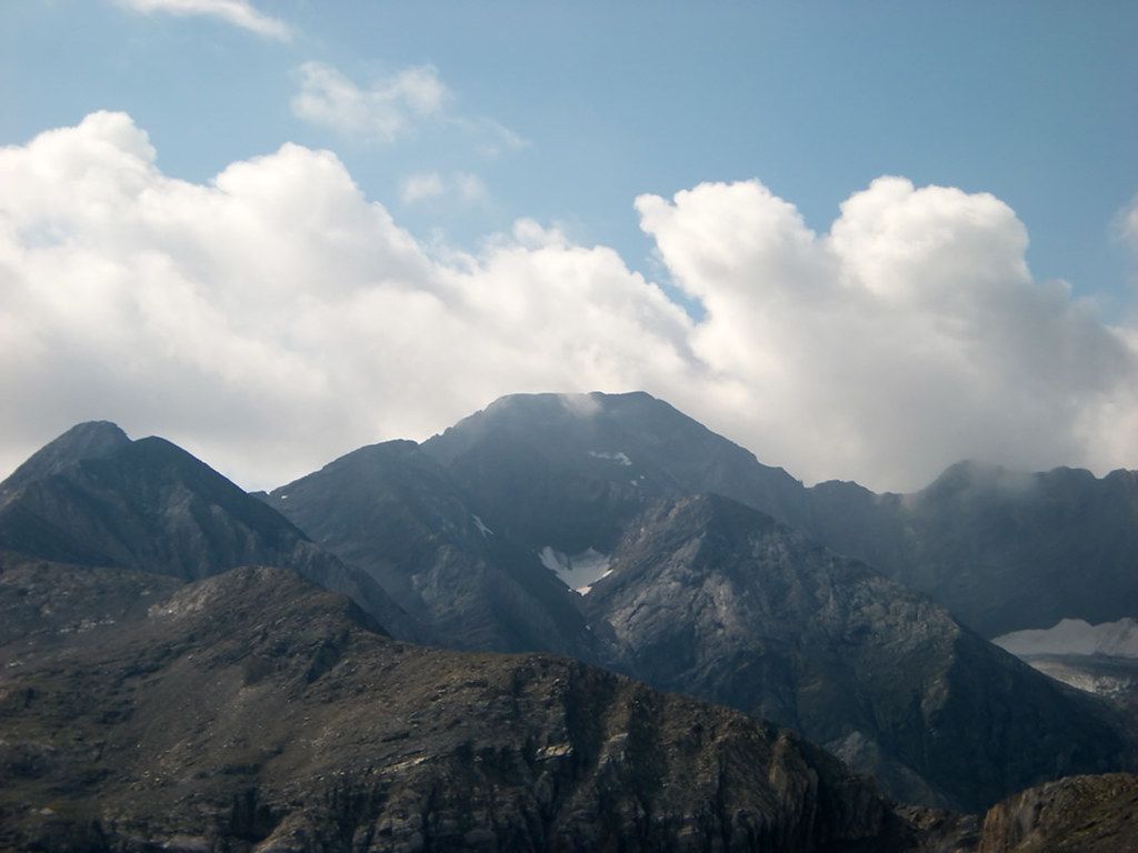
It is a long day with a lot of loose ground, and the upper slopes can hold snow well into summer. For many walkers, though, it is the first big 3,000 they climb, a good test of fitness and judgement before more committing peaks.
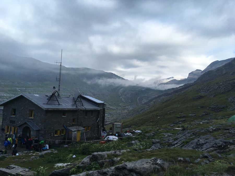 Another routeSleeping in Pyrenean refuges
The harder ones: Balaitús and Comaloforno
At the other end of the scale, some 3,000s demand real climbing. The Balaitús, at about 3,144 metres, is the westernmost of the 3,000s and a famously serious peak. Its routes cross steep, broken rock with loose stones and some exposed climbing, and its weather, coming straight off the Atlantic, can turn quickly. It is a mountaineering objective, best approached with experience or a qualified guide.
Comaloforno, at about 3,030 metres, stands in the Besiberri group near the western edge of Aigüestortes and is often given as the highest point in or around the park. Its approaches involve steep scree, boulder fields and scrambling, and the nearby Besiberri ridge is a long, exposed traverse of sharp granite towers. These are routes for experienced scramblers with a head for heights, and helmets are essential.
Between those extremes lie the classic big summits: Monte Perdido, with its notorious snow slope, the glaciated Vignemale and Aneto with its glacier and narrow summit ridge. Each needs crampons, an axe and, on glaciers, a rope and someone who knows how to use it.
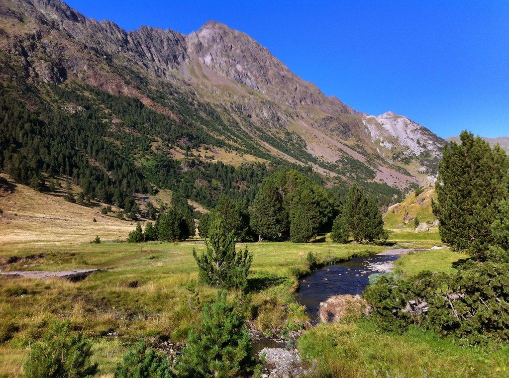
How people tick them off
Collecting the 3,000s is a long project, often spread over many summers. Most people start with the easier walking summits, then move on to peaks with scrambling and snow, and finally to the glaciated and technical ones. A few aim to climb every summit on the list; many more are content with the main peaks, or simply with the ones that call to them.
Refuges make the project possible. Most of the big massifs have staffed refuges below them, and a night at a refuge lets you start early and avoid the afternoon storms. Some people link several summits in a single day along a ridge, ticking off a cluster of tops in one outing. That is efficient but demanding, and it depends on settled weather and real comfort on exposed ground.
Guidebooks and maps for each massif describe the normal routes and their difficulties, and refuge wardens are a good source of current conditions: how much snow lies on a col, whether a gully is loose, which routes people have climbed that week. Ask before you set out, and listen to the answer.
Whatever your pace, keep a record of what you climb, and be honest about the conditions. A summit reached in good weather with a safe descent is worth more than a long list gathered by pushing on when the sky warned you to turn back.
Safety on the 3,000s
The main hazards are the same on almost every peak: loose rock, old snow, storms and fatigue. Wear a helmet on any route with scrambling or other people above you. Carry an ice axe and crampons early in the season, and learn to use them before you need them. Start early and watch the sky. For glacier routes and exposed ridges beyond your experience, a qualified mountain guide (IFMGA/UIAGM) is the safest way to climb, and also the fastest way to learn.