The top of Catalonia
The Pica d'Estats, at about 3,143 metres, is the highest point in Catalonia. It stands on the border between Spain and France, at the head of the Vallferrera in the Pallars Sobirà, and forms part of the Alt Pirineu natural park on the Catalan side. On the French side, it rises above the valleys of the Ariège.
Unlike Aneto or the Vignemale, the Pica d'Estats has no glacier on its normal route. In high summer, once the snow has gone, it is a long walk and scramble rather than a climb, within reach of fit, experienced walkers. That makes it one of the most popular of the Pyrenean 3,000-metre peaks, and one of the most satisfying.
The approach from Vallferrera
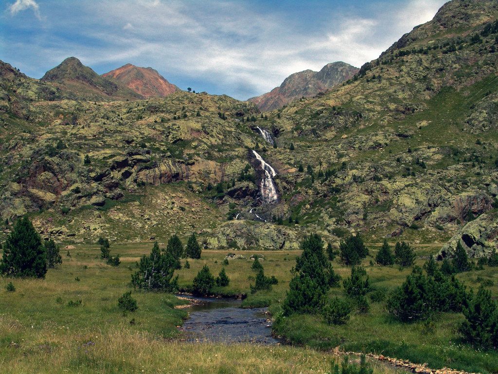
The usual approach starts from Àreu, the last village in the Vallferrera. From there a track continues up the valley to the Pla de la Selva, a forest clearing where the drivable part ends. The track is rough, and parking is limited.
From the Pla de la Selva, a path climbs through forest and past waterfalls to the Vallferrera refuge, at about 1,940 metres. Most people split the ascent into two days, walking to the refuge on the first and climbing the summit on the second. Reserve ahead in summer and follow the usual refuge customs.
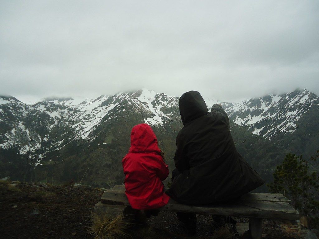
The valley itself deserves time. Its name recalls the iron working that once went on here, and the lower valley still has old stone buildings, hay meadows and quiet hamlets. Higher up, the forest of pine and birch gives way to pasture where cattle and horses graze in summer, and streams tumble down from the lakes above. If you have a spare afternoon at the refuge, a short walk to the nearest viewpoints shows you the ground of the next day's climb.
The Estats and Sotllo lakes
From the refuge, the route climbs into the high basins. You pass the Estany de Sotllo, a deep lake held in a granite bowl, and the smaller Estany d'Estats nearby. These lakes are fine destinations in their own right if the weather or your legs do not allow the summit, and their shores make good places to rest before the steep ground begins.
Above the lakes the path rises over scree and boulders towards the Port de Sotllo, a col on the border ridge. Early in the summer, old snow often lies on this slope and can be hard in the morning. If there is snow, an ice axe and crampons, and the skill to use them, are wise. Later in the season the slope is loose and stony; take your time and watch your footing.
 Another routeThe Val d'Aran, the Atlantic side of the Pyrenees
To the summit cross
From the col, the route follows the ridge to the summit. The final section involves some easy scrambling over large rocks, with drops on the French side. In good conditions it is straightforward for a sure-footed walker, but in wind, mist or wet weather it demands care.
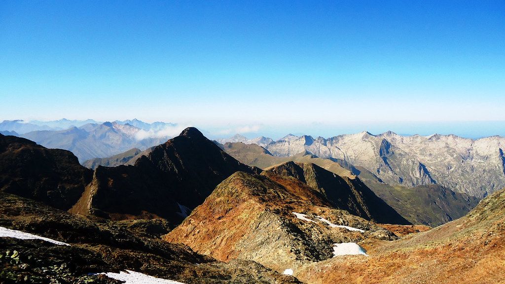
The summit carries a cross and markers on the border, and the views are wide: west towards the Aigüestortes peaks and Aneto, east along the main chain, and north over the forests and valleys of France. Next door rises the Punta de Sotllo, and a little further the Montcalm, another 3,000-metre summit, often climbed from the French side.
Other ways up
The Vallferrera is not the only approach. From the French side, routes climb from the Ariège valleys via a refuge beside a high lake, and some walkers combine the Pica d'Estats with the neighbouring Montcalm in a single long day. Each approach has its own character, its own snow patches and its own access rules. Whichever side you start from, the final ridge is the same, and so is the need for care on it.
Fitness and timing
The climb from the refuge to the summit and back to the valley makes a long second day, with well over 1,000 metres of ascent and much more descent if you return all the way to the Pla de la Selva. You need steady fitness, good boots and the patience to move carefully over rough ground for hours. Walking poles help on the long descent.
Summer thunderstorms are the biggest everyday hazard. On many July and August days the sky is clear at dawn and dark by early afternoon. Start before first light, aim to reach the summit by mid-morning, and turn back if storm clouds build. On an exposed border ridge there is nowhere to shelter from lightning.
What to bring
- boots with good grip, and walking poles
- warm layers, a waterproof jacket, gloves and a hat, even in August
- a map of the area and the ability to read it in cloud
- water, food and strong sun protection
- an ice axe and crampons early in the season
In winter and spring, the Pica d'Estats becomes a serious ski mountaineering objective with real avalanche risk, suitable only for trained ski tourers or with a qualified guide. If you are walking it in summer, enjoy the long valley, the lakes and the summit ridge; and if you love the country, the lakes of Aigüestortes, to the west, are an easy next step.