A valley that faces the Atlantic
Look at a map of Catalonia and the Val d'Aran is the odd one out. Every other Catalan valley drains south towards the Ebro or the Mediterranean, but the Aran sits on the north side of the main Pyrenean watershed. Its river, the Garona, flows north into France, where it becomes the Garonne and eventually reaches the Atlantic beyond Bordeaux. That single fact explains much of what you notice when you arrive: the weather, the green slopes, the language and a long history of looking both ways across the mountains.
The valley bends from the high, open country around the Port de la Bonaigua and the Beret plateau down past Vielha towards the French border. Its upper part, Naut Aran, is high pasture and snow country; the lower valley is narrower, wooded and milder. Atlantic air reaches it more easily than it reaches the Catalan valleys to the south, so you get more cloud, more rain and, in winter, usually more snow. Beech and fir forests cover the slopes, and the meadows stay green well into summer.
Aranese, Occitan and a valley of its own
The Aran's own language is Aranese, a form of Occitan, the language family once spoken across much of southern France. In the valley it sits alongside Catalan and Spanish, and you see it on road signs, in place names and on official notices. Vielha, Arties and Salardú are Aranese spellings, and the valley's own local government uses the language in its work. Aranese has official status in Catalonia, a recognition of how distinct the valley's identity has long been.
For centuries the easiest way in and out of the Aran was to the north, along the river into France. The road over the Port de la Bonaigua, at a little over 2,000 metres, links it to the Pallars to the east, and the Vielha tunnel, under the main ridge, connects it south to the Ribagorça and the rest of Spain. Before the first tunnel opened in the middle of the 20th century, winter could cut the valley off from the south for months. The Bonaigua road can still close after heavy snow.
Vielha and the villages
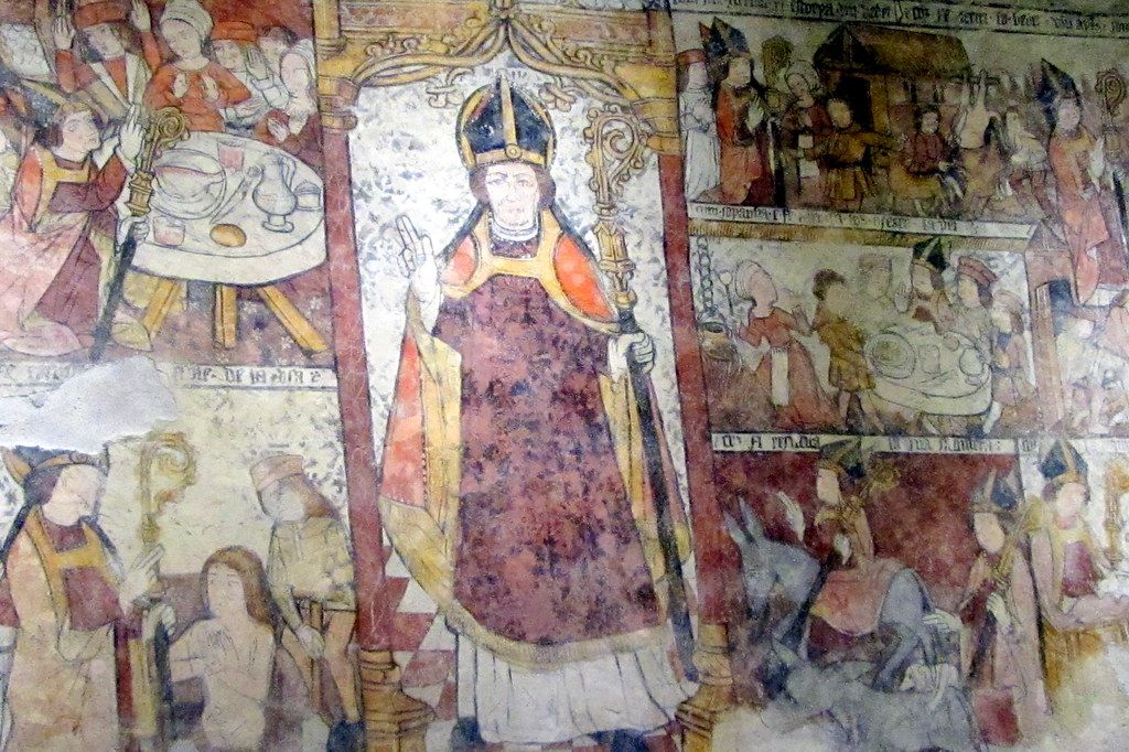
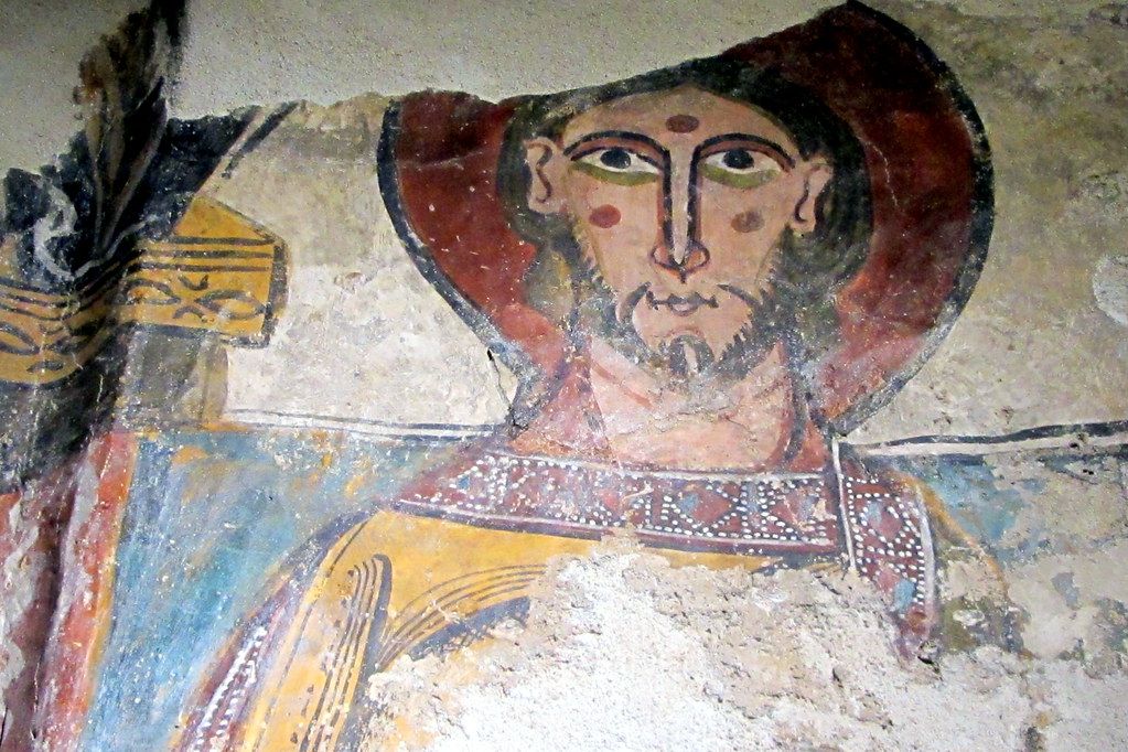
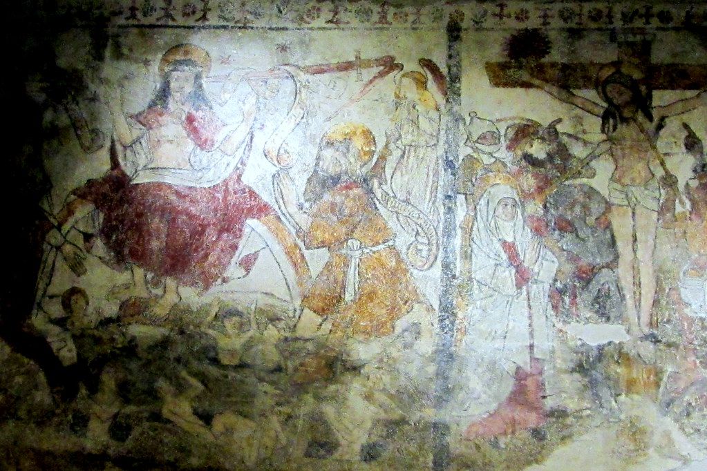
Vielha is the valley's capital and its busiest town, the place where roads, shops and services gather. Its church of Sant Miquèu keeps the Christ of Mijaran, a carved wooden figure from the Romanesque period that survives only in part and is one of the most striking objects in the valley. Walk a few minutes from the main road and you find narrow lanes, slate roofs and stone houses with wooden balconies.
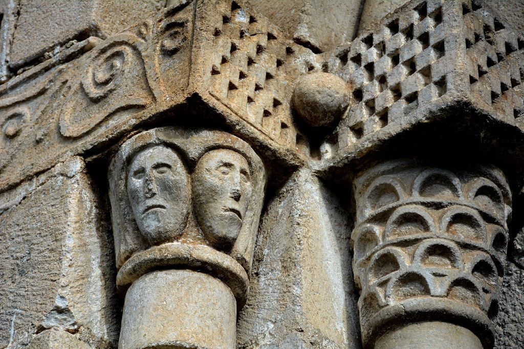
The villages are the reason many people come back. Up the valley towards the Bonaigua you pass places such as Escunhau, Arties, Gessa, Salardú, Unha and Bagergue, each with a stone church near its centre and slate roofs pitched steeply to shed snow. Down the valley towards France, Bossòst and Les feel closer to the French side in their trade and their rhythms. Many of these villages hold a Romanesque church worth a slow look, with carved portals and painted interiors that reward patience and a good torch.
Summer: walking from the valley floor
From late June to September the Aran is walking country. Waymarked paths climb from almost every village through forest to high pastures and lake basins, and old mule tracks link one side valley with the next. You can spend a day following the river between villages, or climb to a lake under granite ridges and be back for the evening.
 Another routeSleeping in Pyrenean refuges
The southern edge of the valley borders some of the finest lake country in the range. From the Aiguamòg valley above Salardú and Tredòs, paths lead up to the Colomers cirque and on towards the Aigüestortes national park, with dozens of lakes within a day's walk. To the west, the Maladeta massif rises just across the ridge in Aragon, close enough to see from the higher passes but a separate expedition in its own right.
Summer weather here changes quickly. Mornings are often clear, with cloud building over the ridges by early afternoon and thunderstorms common in July and August. Start early, plan to be off exposed ground by early afternoon, and carry a waterproof layer and warm clothing even on a bright day. Paths above the tree line can hold old snow into early summer, and a slip on a hard snow patch is a more common accident than most walkers expect.
Start early, plan to be off exposed ground by early afternoon, and carry a waterproof layer and warm clothing even on a bright day.
Winter: snow, ski slopes and quiet forest
Because it faces north and catches Atlantic weather, the Aran is one of the more reliable snow areas of the Pyrenees. Baqueira-Beret, in the upper valley around the Bonaigua and the Beret plateau, is one of the largest ski areas in Spain, and in winter it shapes life in the upper villages.
Away from the lifts, the valley offers a quieter winter. The forests above Vielha and the open ground of the Beret plateau suit snowshoe walks on gentle terrain, and some side valleys hold cross-country tracks when the snow is good. Off-piste skiing and ski touring here are serious: the slopes are steep, the snowpack can stay unstable for long periods, and the terrain does not forgive mistakes. Do them only with a qualified mountain guide (IFMGA/UIAGM) or after proper training, with a transceiver, probe and shovel and the practice to use them.
The Aran publishes its own avalanche bulletin, separate from the rest of Catalonia, and it is the first thing to read before any winter outing beyond the marked pistes. Learn how the danger scale works and what it means for the slopes you plan to cross; avalanche awareness starts long before you reach the snow.
Getting there and getting around
Most visitors arrive by road. From the south, the route through the Vielha tunnel brings you in from the Ribagorça; from the east, the Bonaigua road comes over from the Pallars; from the north, the road follows the Garonne up from France. Buses link the valley with Catalan cities and with the French side at some times of year. Within the valley, local buses run along the main road, and many walks start from village squares.
Plan for altitude and season. Vielha sits at about 1,000 metres and the upper villages higher still, so evenings are cool even in midsummer, and in winter road conditions can change within hours. Carry chains or fit winter tyres when snow is forecast, and treat the valley's weather with the respect its Atlantic outlook deserves.