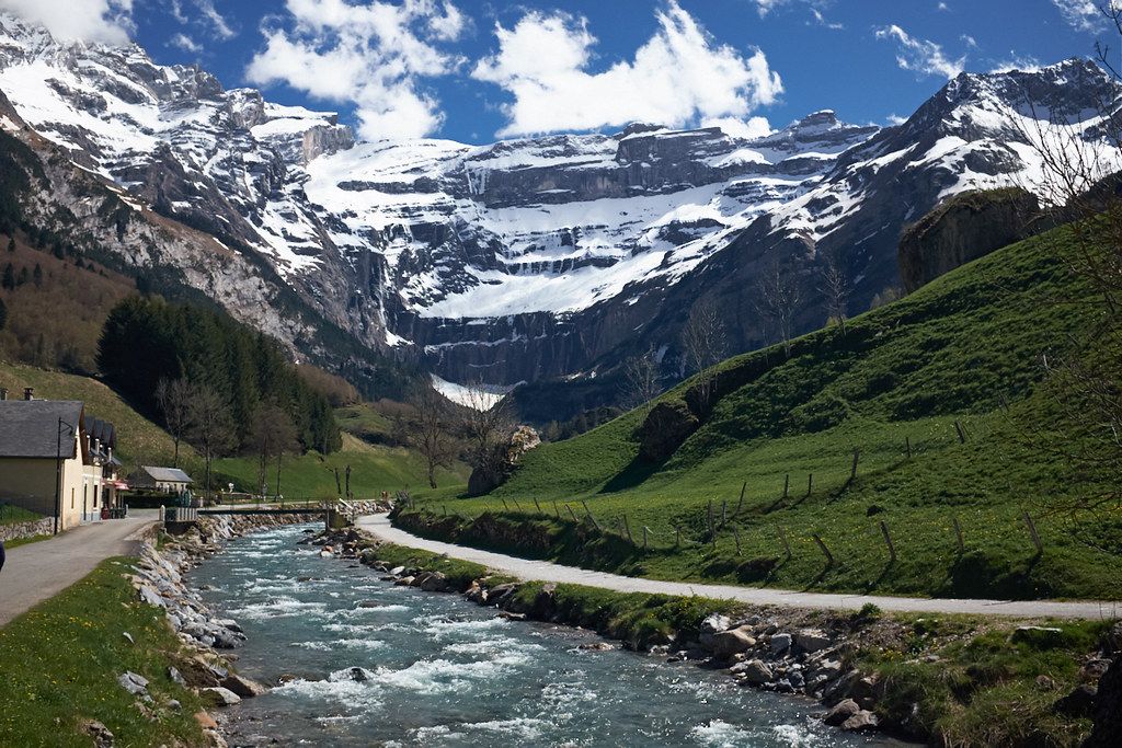
The great cirque
The Cirque de Gavarnie is one of the most famous sights in the Pyrenees. At the head of a valley above the village of Gavarnie, in the French Hautes-Pyrénées, a semicircle of limestone cliffs rises in tiers to summits over 3,000 metres. Bands of snow and ice cling to its ledges into summer, and waterfalls pour down its face. It forms part of the Pyrénées–Mont Perdu World Heritage Site, together with the canyons on the Spanish side of the border.
The walk from the village to the foot of the cirque is easy and popular. A broad path follows the river up the valley, through meadows and past grazing cattle and horses, to a viewpoint below the cliffs. It takes a couple of hours there and back at a gentle pace, and suits almost anyone with steady footwear.
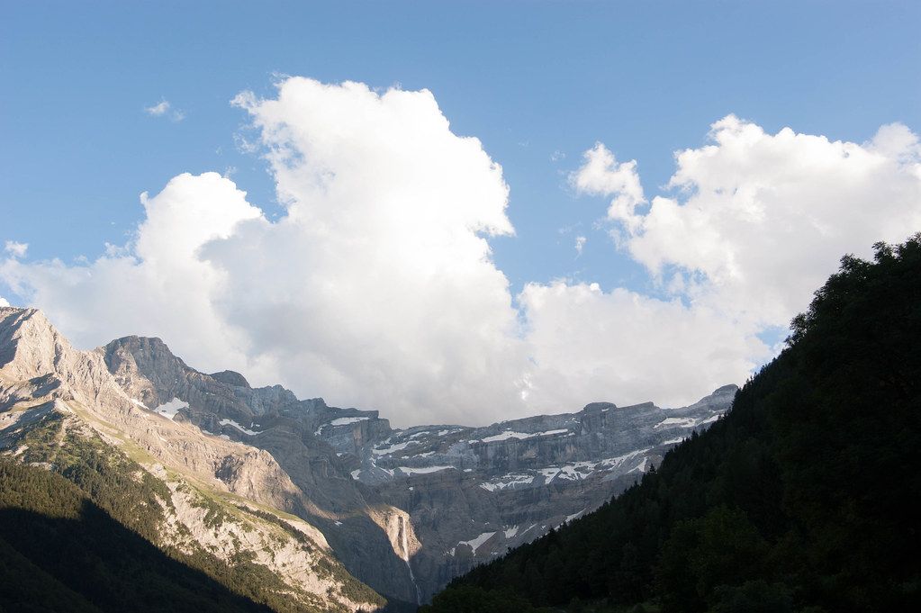
The Grande Cascade
The highest of the cirque's waterfalls, the Grande Cascade, falls more than 400 metres down the cliffs and is often described as one of the tallest in Europe. It is fullest in late spring and early summer, when snowmelt feeds it, and thinner by late August.
A path continues from the viewpoint towards the foot of the waterfall over rough, rocky ground. Take care here: stones and chunks of ice fall from the cliffs above, especially in early summer, and the spray area can be slippery. Do not linger beneath the walls. In a cold winter the falls on the cirque can freeze into columns of ice, terrain for trained ice climbers rather than walkers.
The Brèche de Roland
High on the rim of the cirque, a square notch cuts through the ridge on the border with Spain. This is the Brèche de Roland, a gap roughly 40 metres wide and about 100 metres high. Legend says the knight Roland opened it with a blow of his sword; the reality is erosion of a limestone wall, but the legend has stuck.
Reaching the Brèche is a full day's mountain walk. The usual approach climbs from the Col des Tentes or the village to the Sarradets refuge, just below the gap, then crosses a short snowfield or small glacier to the Brèche itself. In early summer that snow is steep and hard, and people fall there every year. Crampons and an ice axe, and the skill to use them, are essential until the snow has gone. Through the gap you look down into Spain, towards the plateaus above Monte Perdido and the Ordesa canyon.
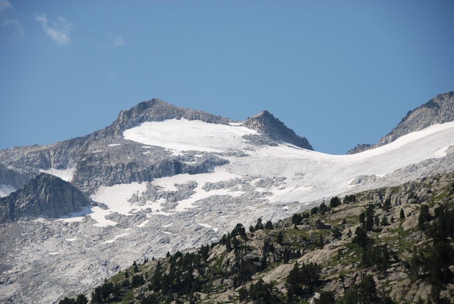 Another routeAneto, the roof of the Pyrenees
The Vignemale and the Ossoue glacier
To the west of Gavarnie rises the Vignemale, at about 3,298 metres the highest summit on the French–Spanish border. Its main top, the Pique Longue, sits above the Ossoue glacier, long the largest in the French Pyrenees. Its north face, above the Oulettes de Gaube refuge, is one of the great walls of the range.
The normal route climbs from the Ossoue valley past the Baysselance refuge and onto the glacier, then up a short rocky section to the summit. It is a glacier climb: crevasses open on the ice, especially later in summer, and a rope, harness, crampons and ice axe are needed. If you have not travelled on glaciers before, go with a qualified mountain guide (IFMGA/UIAGM).
The Ossoue glacier is shrinking quickly, like every glacier in the Pyrenees. It has thinned and retreated sharply over recent decades, and its surface changes from one summer to the next, with more bare ice and loose rock. Route descriptions age fast, so ask at the refuge about current conditions.
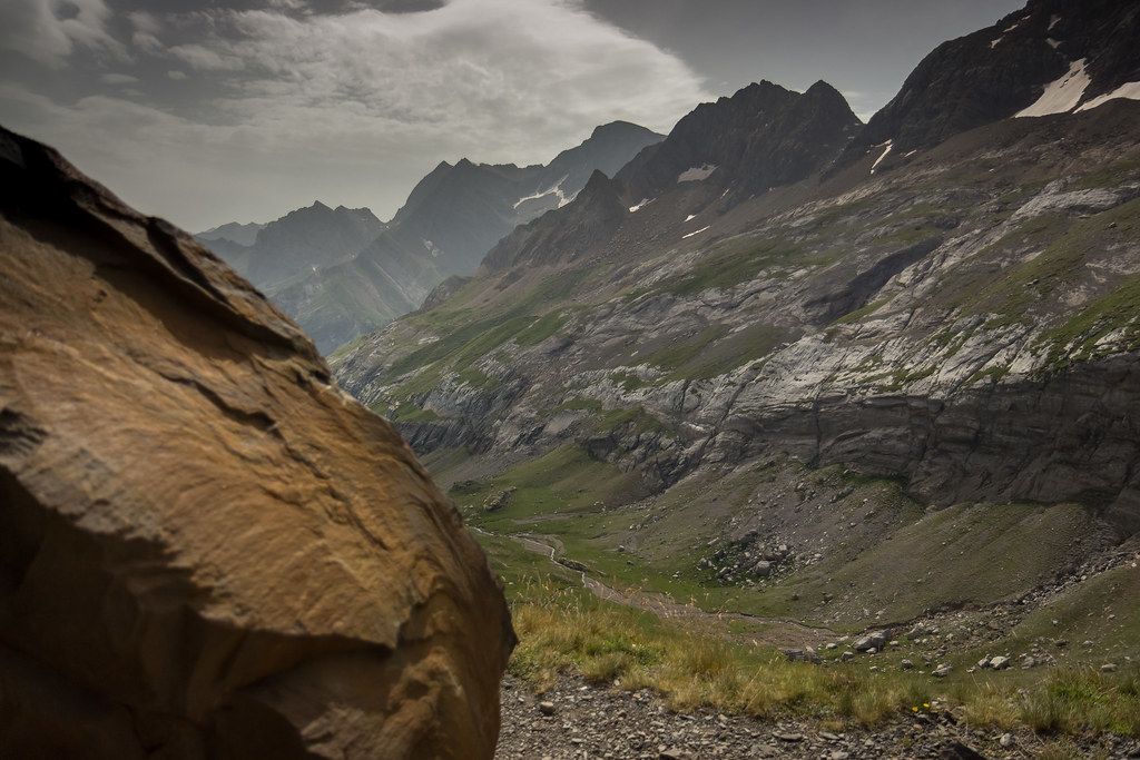
Henry Russell's caves
The Vignemale has a curious place in mountain history through Henry Russell, a 19th-century Pyrenean explorer devoted to the mountain. He climbed it many times, and he had several small caves cut into the rock on its slopes so that he could spend nights high on the mountain and host friends there. Some of these caves can still be seen near the glacier and on the ridge. They are a reminder of an age when the Pyrenean summits were being explored for the first time, and when one person's passion could leave a mark in stone.
Parking below the cirque
Gavarnie village is reached by road from Lourdes and Luz-Saint-Sauveur. Parking can be limited in high season, and some roads above the village, such as the one to the Col des Tentes, open only once the snow has cleared. Refuges around the cirque and the Vignemale are staffed in summer and fill quickly, so reserve ahead.
If the Brèche and the Vignemale are beyond your plans, the valleys around Gavarnie hold plenty of gentler walking. Balcony paths climb the slopes on either side of the village and look straight into the cirque, and quieter side valleys lead to high pastures where shepherds still bring flocks up in summer. These walks give you the scale of the walls without the snow and loose rock of the higher routes, and they make good choices for a day when cloud sits on the summits.
Read the Météo-France avalanche bulletin (the BRA) if you are going high in late spring or early summer, when snow still lies on the cols. Through the summer, watch for thunderstorms, which build quickly over the cirque. The area is a fine base for exploring more of the Pyrenean 3,000-metre peaks, and the refuges make it easy to spend several days up high.